Photo Gallery
Click on any of the thumbnails below to see a larger image
or use the forward and backward arrows.
To see a full size image click on the large image.
Sep 2023 - Lake District and North Yorkshire
Leader: Dr. Bernard Skillerne de Bristowe
Photos: Hilary Jensen, Sarah Cook, Mike Jones, Roger York, Ailsa Davies


Figure 22 Examination of bedding in the path – Ingleton Waterfalls Trail

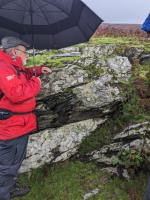
Figure 1 Kirk Stile Formation
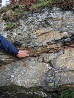
Figure 2 Slickensides
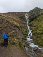
Figure 3 Grey to red
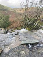
Figure 4 Hornfels
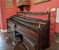
Figure 5 Lithophone
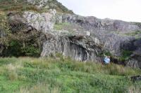
Figure 6 Overturned Acadian folding of a plunging anticline
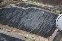
Figure 7 Axial cleavage planes in the limb of the fold
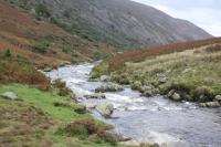
Figure 8 Caldew River
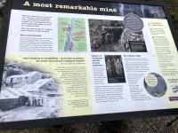
Figure 9 Information board at Carrock Mine
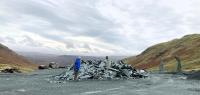
Figure 10 Honister Mine - dump of Borrowdale Volcanic Group slates in carpark
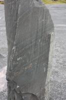
Figure 11 Graded bedding and cleavage in the slate
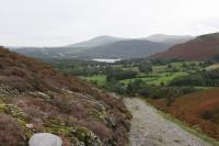
Figure 12 view along valley
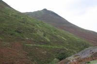
Figure 13 Causey Pike
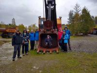
Figure 14 RGS group & Bernard Skillerne de Bristowe in Mining Museum at Threlkeld Quarry
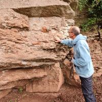
Figure 15 Boundary between Brockram and Carb Limestone
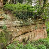
Figure 16 Penrith Sandstone at Bongate Weir
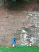
Figure 17 St Bees Sandstone, Dufton
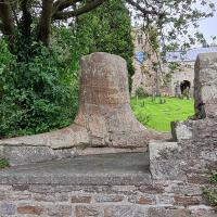
Figure 18 Stanhope fossil tree
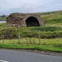
Figure 19 Rookhope Arch
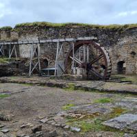
Figure 20 Nenthead Mining Gear
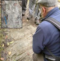
Figure 22 Examination of bedding in the path – Ingleton Waterfalls Trail
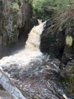
Figure 23 Thornton Force
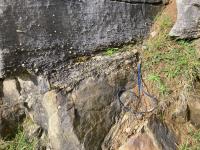
Figure 24 Pebbly layer at base of Carboniferous limestone - Ingleton Waterfalls Trai
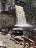
Figure 25 Thornton Force
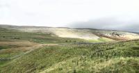
Figure 26 Kingsdale glacial trough
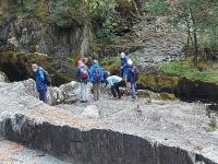
Figure 28 Ingleton Waterfalls Trail
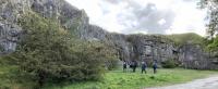
Figure 29 Storrs Quarries - old limestone quarries